
Distance: 64.03 km
Time: 3 hours 47 minutes
Average speed: 16.9 kph
Cumulative distance: 3365.81 km
Cumulative time: 170 hours 55 minutes
Word of the day: ‘penultimo’ (pen-ool-tee-moe) – penultimate
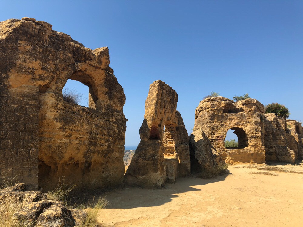
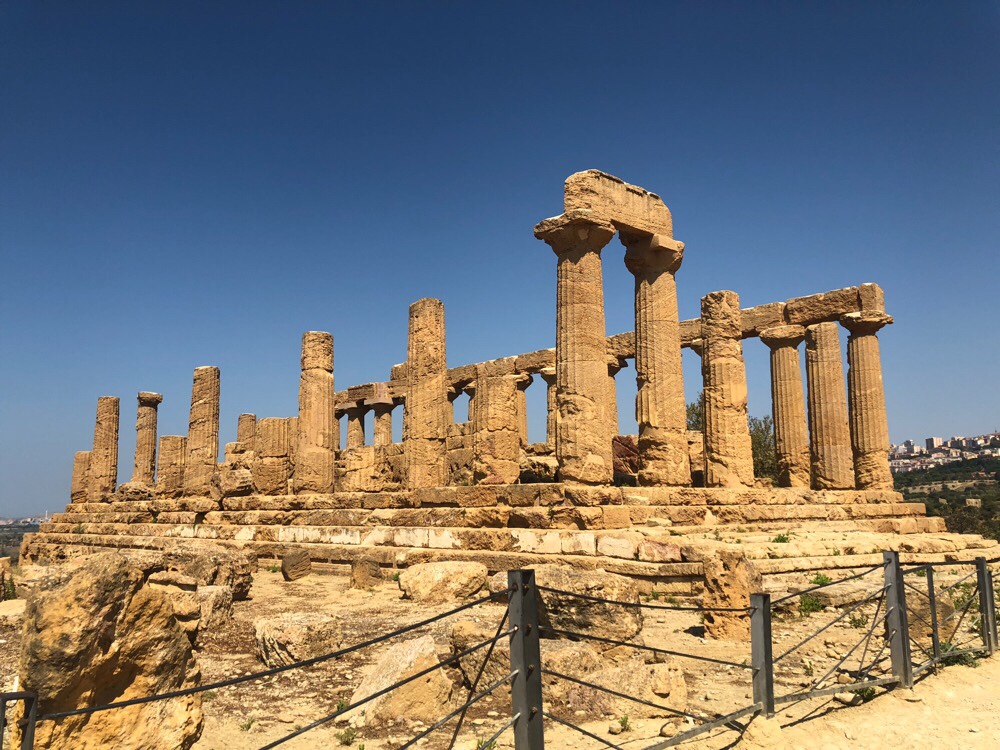
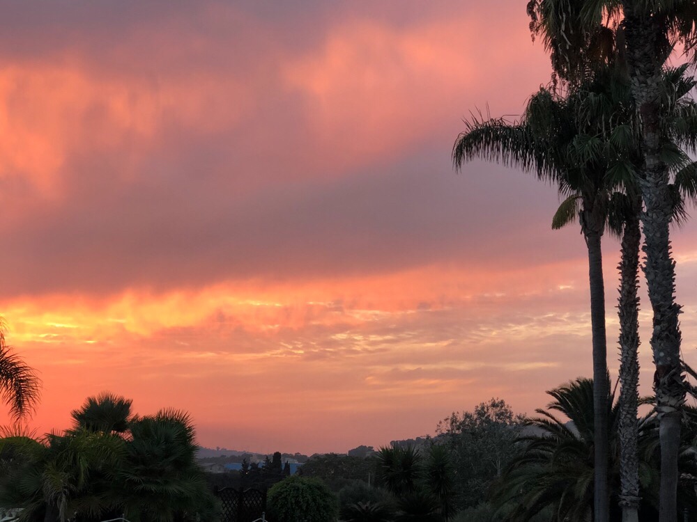
The hotel ‘Kaos’ turned out to be just what we needed, even if it was mainly orange..! It had a fabulous pool, really lovely staff, and great food in the restaurant, served out on the terrace with wonderful sunsets each night we were there. They organised a taxi for us on our first rest day to the Valle dei Templi, where we really enjoyed wandering amongst the Greek temples and ancient walls. Unusually, they’d been left largely untouched by later religions. Here are some pictures.


 The rest of our time in Kaos we just spent, well, resting, ready for our last big push to the end. We did actually ask the reception staff this morning why it was called Kaos. It’s the name of the area, made famous by Pirandello, who was born there and named himself ‘a son of chaos’.
We left in good time, having chosen to flout our own rule not to go through any tunnels whose end couldn’t be seen from the beginning by immediately plunging ourselves into one exactly like that. It was only 350m long, and we knew it was both downhill and well-lit, because our taxi driver went through it on the way back from the temples, so we thought it was worth doing. It saved us quite a detour.
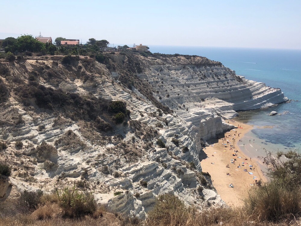
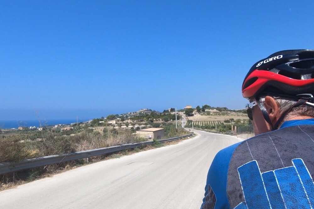
We rode quickly through Porto Empedocle, a proper working port just below Agrigento, and then started the climb up to the viewing point for the Scala dei Turchi, the “Turkish Steps”, a beautiful natural rock feature. The wind has sculpted the soft marl into steps, and they were named ‘Turkish’ by mistake, when the Saracens used them in their successful invasion attempt. They look incredible in the bright sunlight, so white against the sea and the sky.
A friendly local policeman engaged us in conversation when we stopped to take pictures. He told us we should be getting up very early indeed and getting all our cycling done by 11am whilst it was still cool. We had talked in advance about whether we might need to do that in the hottest parts of our tour, but to be honest neither of us is really a ‘lark’, and we’ve coped fine with the heat. It didn’t seem to be an official directive! Some other cyclists also joined us, and we all wished each other ‘Buon Ferragosto’ – it’s tomorrow, in fact, but lots of towns celebrate it on the 14th, it was originally a festival created by Augustus to celebrate the end of the hard summer’s graft in the fields.
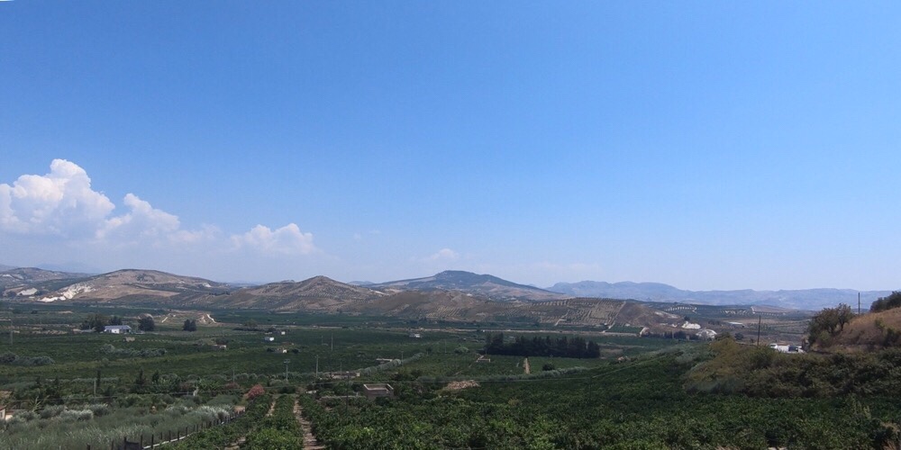
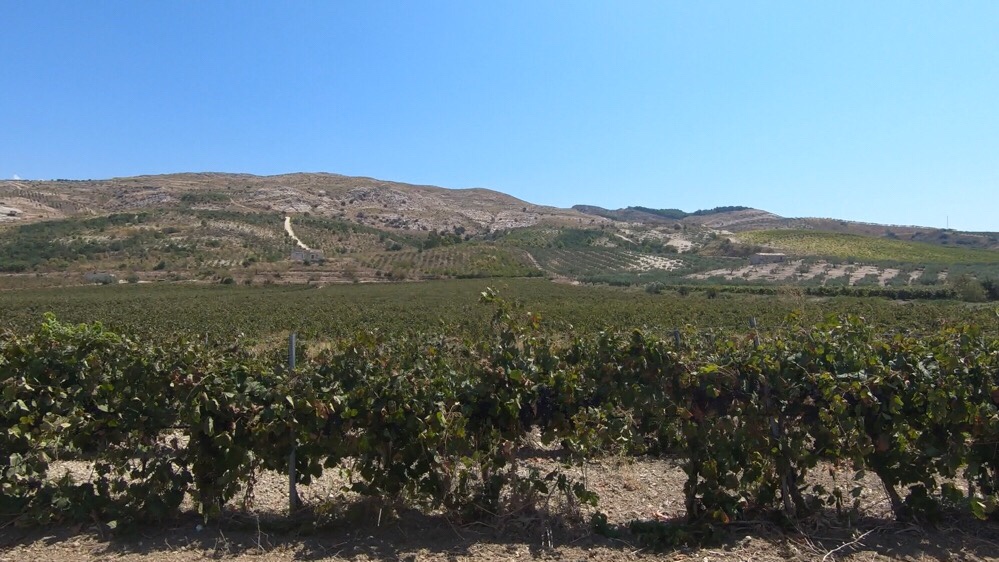
We enjoyed the road on from the Scala dei Turchi, it was very quiet, good views, and a definite sense that we were leaving the truly arid, bleached landscape of the very south coast behind us and re-entering a greener, more cultivated area.
We breezed along, all going well, and then…. Damn, strada chiusa. There were the usual plastic road blocks to close the road, which Italians usually drive round, so we rode round those, and then there was a bridge with a proper, impenetrable Armco-type barrier right across the road. We decided to go for it, took the bags off the tandem and the Captain heroically lifted it over the barrier.
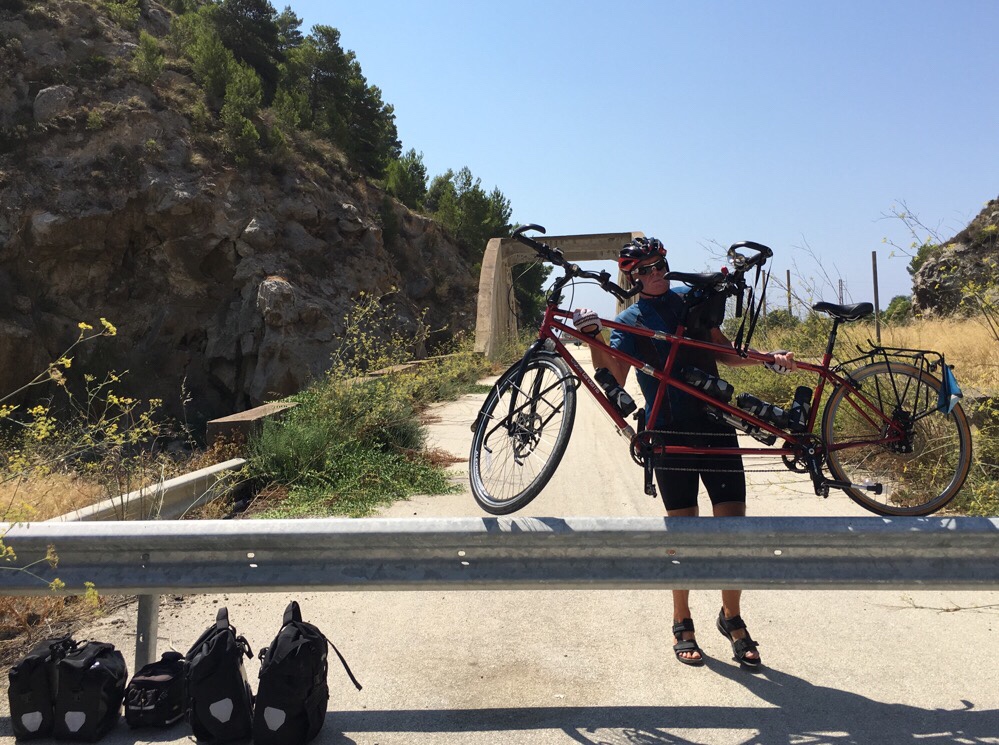
You could see why the bridge was closed, it was very degraded. Another hoist of the tandem at the other end, and a reloading of the bags and we were through, though. The road on the other side was eerily quiet for a while, with weeds growing up through the tarmac, but it wasn’t long before we were back to shadowing the main road again on our little quiet alternative, and looking gratefully at the tunnels we wouldn’t have to go through.
There were some lovely patchwork views, fields of vines, olives and lime trees.
We climbed steadily in the heat up to Ribera, the highest hill we had left on our route to Marsala. It was very energy-sapping, but we refuelled with absolutely enormous arancini in a bar at the top, before a lovely long descent back down to the valley floor. We’d been inland for quite some kilometres, but eventually we began to see the sea occasionally.
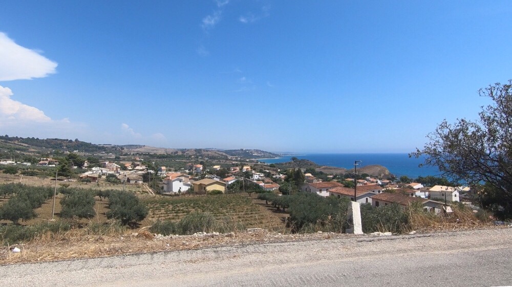
We’re still following the SIBIT route, and it took us pretty much all the way into Sciacca, our penultimate destination.
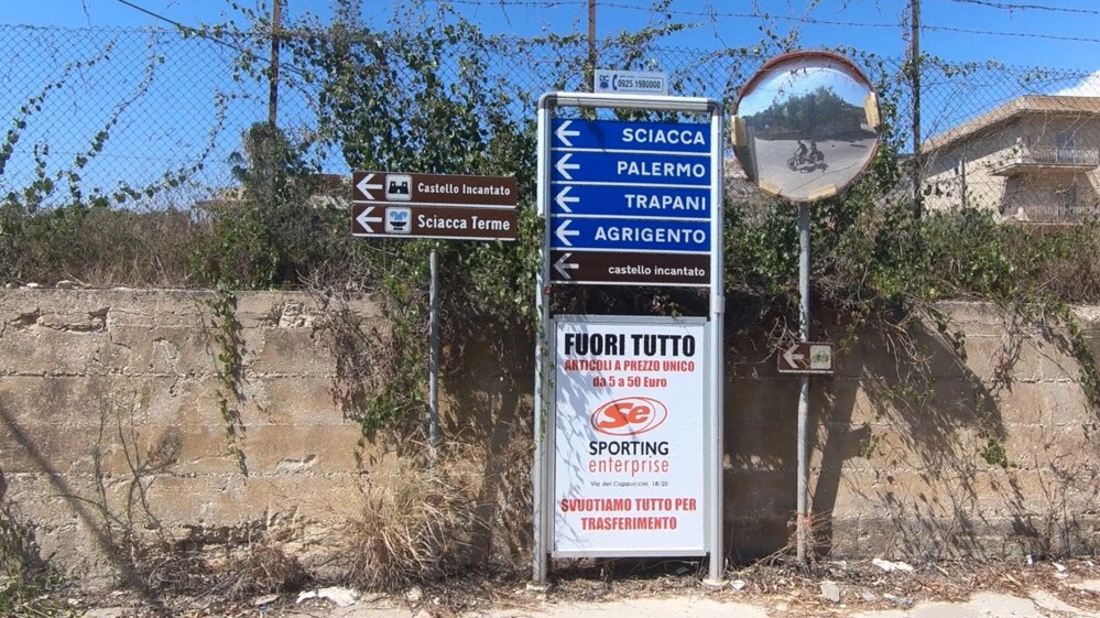
It’s a handsome town, we’re up in the top part, but we’ve been down to have a peek at the duomo and look down to the harbour from the viewpoint.
So here we are, one cycling day from Marsala. It’s going to be a long day to get there tomorrow. Fingers, toes, eyes, we have everything crossed!
Here’s today’s track.